Exploring indoor mobile mapping but unsure about accuracy? Make an informed decision about deploying the right scanner for fast, scalable data capture.
One of the greatest things about meeting with surveyors and lasers scanning professionals in person – as we’ve done this year at INTERGEO 2019, the NavVis Summit19, and elsewhere – is the opportunity to speak with them about their successful projects with mobile scanners.
We especially like to hear about their experiences concerning how and when they use mobile scanning systems in their projects. These professionals are very pleased with the advantages of a mobile scanner, whether it’s faster scanning time or ease of setup and use, compared to more conventional terrestrial laser scanners.
Indeed, indoor mobile scanning has gained tremendous momentum in the market in 2019, to the extent that almost every vendor now offers a mobile scanning solution of their own.
"Indoor mobile scanning has gained tremendous momentum in the market."
The fact that many of these vendors have a long history in manufacturing total stations and terrestrial laser scanners, and have decided that now is the right time to add a mobile scanner to their product portfolio, makes the shift even more significant.
However, if you’ve ever been part of this conversation about the wonderful world of indoor mobile mapping, you’ll know that, sooner or later, someone will raise questions like: “How accurate are these devices?” And "are they accurate enough to meet the requirements of my reality capture projects?"
These questions are important to laser scanning professionals, and merit a thorough answer to have confidence in the accuracy of a mobile solution.
Why is it so difficult to define accuracy?
To define the accuracy of mobile mapping systems has proved challenging, especially scanners featuring SLAM (simultaneous localization and mapping) technology, because people make the mistake of applying the accuracy standards and methodologies of terrestrial laser scanners.
These methodologies are inadequate to benchmark the accuracy of a SLAM-based mobile scanner because they are effectively two different technologies.
It’s fundamental to note that when we are referring to the accuracy of a terrestrial laser scanner, the accuracy of discrete measurements at a single position are taken into consideration.
"The accuracy of a single scanning using a mobile mapping system is a result of many discrete measurements at various positions."
By contrast, the accuracy of a single scanning using a mobile mapping system is a result of many discrete measurements at various positions (known as mapping trajectory).
For this reason, quantifying the performance and accuracy of a mobile laser scanner is more difficult simply because a mobile scanner includes continuous measurements instead of discrete measurements.

But that doesn’t mean it can’t be done
To address this challenge and provide some meaningful answers about mobile scanning accuracy, NavVis has developed a rigorous methodology that's open to independent review and scrutiny.
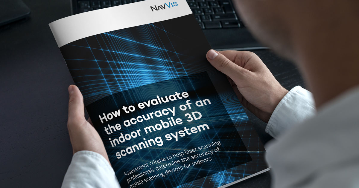
Our findings have been published in the free guide, “How to evaluate the accuracy of an indoor mobile 3D scanning system”. You can download a free copy of the guide here.
But to give you an idea of its contents, our assessment deploys two industry-standard devices and three separate metrics as benchmarks for accuracy. We use a total station for local point to point and global point to point comparisons, and a terrestrial laser scanner for a global cloud to cloud comparison.
"To provide some meaningful answers about mobile scanning accuracy, NavVis has developed a rigorous methodology that's open to independent review and scrutiny."
Using a single level parking garage of 1500 sqm for a test site, we put the NavVis M6 indoor mobile mapping system to the test.
And the key findings are that, from this one project, we can state that the absolute accuracy is better than 5.7mm in 68% of all measurements. Furthermore, we can say that the absolute accuracy is better than 13.8mm in 95% of all measurements.
| Number of distances | 68% of distances are below: |
95% of distances are below: |
|
| Local point to point (Total Station) |
24 | 0.0080 | 0.0199 |
| Global point to point (Total Station) |
212 | 0.0126 | 0.0249 |
| Global cloud to cloud (TLS) | approx. 1 million | 0.0057 | 0.0138 |
Table 1: Summary of the accuracy (in meters) for the three metrics
Accuracy is important, but there are other factors to consider
So, the next time you hear the question: “How accurate is a mobile scanning device?” This guide provides the answer. Moreover, it’s an ongoing work of research at NavVis, encompassing more examples of the built environment, and we plan to expand the scope of this accuracy evaluation.
In the course of your own research into mobile mapping accuracy, be sure to ask your vendor the same set of questions. What’s the accuracy of their mobile scanner? More importantly, what metrics are they using to define it?
"Ultimately, mobile scanners are another tool in your professional toolbox – albeit one which can increase your scanning speed and reduce costs."
Keep in mind that accuracy relates to a certain confidence level. So, don’t be satisfied with just one number; take a closer look into the finer details.
Ultimately, mobile scanners are another tool in your professional toolbox – albeit one which dramatically increases your scanning speed and reduce costs for a significantly more efficient and seamless reality capture experience.
Once you get an answer about accuracy that satisfies YOU, the experienced laser scanning professional, then you’re better empowered to select the right tool for the right project.
Improving your productivity on-site translates to greater savings overall, enabling you to scale up the size of your indoor mapping projects, and take your laser scanning business to the next level.


