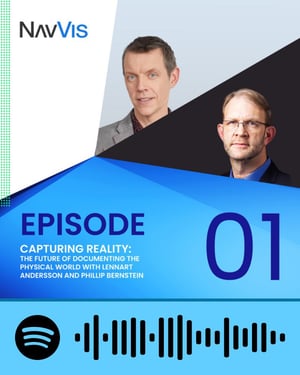
Episode 01 -
Capturing reality
The future of documenting the physical world
with Lennart Andersson (Pratt University) and Phillip Bernstein (Yale School of Architecture)
Scanning Realities with NavVis -
Episode 01
Reality capture is almost a given, a concept that has caught on in recent years and is often used in the world of surveying and beyond. But what is it? And how did we get to where we are right now? How do the capture and documentation of reality relate to Building Information Modeling and the idea of a single source of truth? And to next-generation technology like Artificial Intelligence? Where will we be in another ten years?
Industry experts and academics Lennart Andersson, Professor of Architecture at Pratt University in Brooklyn, and Phil Bernstein, Associate Dean and Senior Lecturer at the Yale School of Architecture and former Vice President at Autodesk, discuss the evolving challenges and the opportunities offered by cutting-edge technology to shape new workflows - and ways of thinking.
or scan the sound wave to listen to the episode from your Spotify account
Share
Capturing reality: The future of documenting the physical world
What's changed over the past years in reality capture and documentation? What is the link to Building Information Modeling? How do increased computing capabilities influence the way we work? What industry standards are being set, and what does Artificial Intelligence have to do with all this? Where is reality capture technology taking the world of documentation?
In recent years, cutting-edge technologies have transformed the way we document the physical world and collaborate on the spatial information we acquire. These technologies are revolutionizing many sectors, including geospatial and architecture, engineering, and construction (AEC). However, these worlds revolve around the same principles – precision and reliability – that cannot be forgotten, even if we wish to speed up progress.
Precision, prediction, and endless possibilities
Traditionally, modifications and updates were often missed or overlooked in the process of drafting red-line drawings. However, the introduction of more sophisticated scan-to-Computer-Aided Design (CAD) or Building Information Modeling (BIM) workflows has significantly addressed this issue. Lennart Andersson, Professor of Architecture at Pratt University in Brooklyn, emphasizes that reality capture transcends the role of a traditional surveyor and encompasses a deep understanding of space in time, offering endless possibilities.
Imagine a world where the physical environment can be documented simply and accurately and made easily accessible. Imagine if data processing could be automated, pre-filtered based on specific applications or requirements, and ready to be combined and modeled while preserving intricate details. Well, this reality already exists. Phil Bernstein, Associate Dean and Senior Lecturer at the Yale School of Architecture and former Vice President at Autodesk, asserts that there is no reason not to embrace reality capture, as the cost of not doing so far outweighs any potential cons. Neglecting to capture reality as it currently is can result in numerous costly issues down the line.
"The challenges of the building industry revolve around precision and prediction," explains Bernstein. Reality capture technologies play a pivotal role in addressing these challenges by enhancing precision and enabling accurate predictions. The implementation of new workflows facilitates these improvements.
An outlook on the future
It’s important to acknowledge that new capture tools and techniques are able to collect large amounts of data. These methods are becoming more and more sophisticated, less complex in use, and true to reality in their results, making it actually possible to collect and process this sheer volume of data.
However, despite advancements in data accessibility, handling rich datasets can still pose a challenge. The industry is actively seeking solutions to manage and analyze this vast amount of information efficiently, and some promising solutions are already on the market.
Artificial Intelligence (AI) could play a significant role in reality capture and documentation. New intelligent algorithms can automate data processing, enable advanced analytics, and even contribute to predictive modeling. By leveraging advanced computing capabilities embedded in available tools, building industry professionals can extract valuable insights and streamline their workflows further.
Another crucial aspect of reality capture and documentation is the need to establish industry standards. As these technologies continue to evolve, standardization efforts ensure interoperability, data consistency, and seamless collaboration across various platforms and tools. But this topic is still a work in progress, as regional discrepancies in methodologies and requirements make it difficult to standardize guidelines.
It is inevitable to conclude that reality capture technology has the potential to reshape the world of documentation. Its ability to deliver more accurate and comprehensive information and automation capabilities are revolutionizing the building industry. As these technologies continue to advance, we can expect further enhancements in precision, prediction, and overall productivity.
Contact us
Did the podcast episode leave you with burning questions or do you want to try NavVis technology for yourself? Don't hesitate to reach out!
Just fill out the form below, and one of our friendly representatives will get in touch with you soon.
Let's connect


