The first stage of any new scanning technology is excitement. This is when providers explore what the new tool can do. As they start immersing themselves and testing it in the field, we reach the next stage: uncertainty about whether it’s best to use a mobile mapper for any given project.
Today, as mobile mapping systems have matured, improved the quality of their data, and seen wider acceptance in the industry, we’ve reached the uncertainty stage. But this time we have history to learn from. We can eliminate this uncertainty, and determine the best applications for mobile mapping the same way we did for terrestrial scanning.
The answer is relatively simple comes in two parts: robust standards and rigorous hardware testing in a variety of scenarios. I’ll explain.
The value of standards
The first piece, the standard, offers a framework for defining and communicating intended accuracy.
There are many standards that can accomplish this task—like a scanner, a standard is only a tool, and you should pick the one that’s right for your needs. But let’s look at an example I am very familiar with, the U.S. Institute of Building Documentation (USIBD) level of accuracy (LOA) specification. This document defines five levels of accuracy, LOA10 through LOA50, each of which corresponds to a defined range of accuracies. For example, LOA20 refers to accuracy between 5cm and 15mm with 95% confidence.

In addition to defining these levels, the spec offers a document that clients can fill out. This walks them through the process of determining the accuracy with which to capture, process, and model building conditions, and then communicate that accuracy intent with the service provider. They can specify one LOA for capture, and another for modeling. They can even specify different LOAs for different parts of the project.
Standards like this help to clarify every possible aspect of the accuracy intent, and help to ensure a good working relationship and common expectations.
The value of testing
But standards like the LOA specification are only one piece of the puzzle. They’ll tell you what the accuracy expectations are, but they won’t tell you how to achieve that level of accuracy. For that, you’ll need to define your own processes—which requires knowing what the scanners are capable of in the real world.
The issue I’m referring to here is that most scanners are marketed with accuracy specifications that are measured in laboratory conditions. These specs show how a scanner will operate in an ideal world, but not how it will operate in the real world. In the real world, where you perform your actual documentation work, there are infinitely more factors that could affect the accuracy of your data.
To determine real-world accuracy, we need to test these tools in a variety of environments, with a variety of workflows. Today, after a lot of field testing and sharing of information among service providers, we have mostly mapped out the possibilities for terrestrial scanners. We know, for instance, that you can use a terrestrial scanner with control point registration for a scan-to-BIM project in a warehouse that requires LOA20 or LOA30.
For mobile mapping technology, real-world performance is still relatively unknown.
Since every mobile mapping system is unique in terms of form factor and workflow, I believe the responsibility of testing should fall to the vendors. Who better than the vendor to test what their handheld scanner is capable of when you scan a 2,000 sq ft office in a single pass? Or how their wearable scanner performs in a 10,000 sq ft warehouse with multiple scans and control points? Or how their solution stacks up against terrestrial scanners in those same environments?
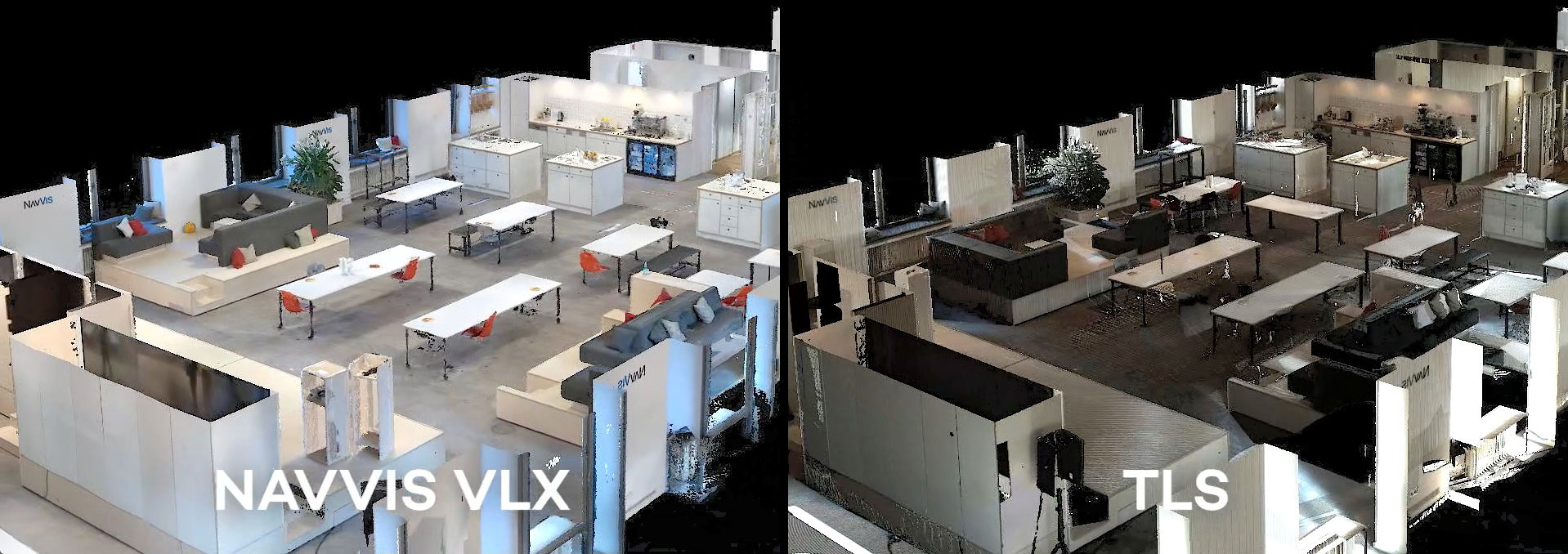
If vendors were to publish case studies that showed rigorous testing of the scanner and offered their potential customers good, clear data on the results, this would increase the industry’s confidence. It would show service providers that their mobile mapping system is able to meet the needs of any project in the real world. For a good example, look at NavVis’ field testing here.
Then, these providers could be confident in knowing when mobile mapping systems are the right tool for the job.

There are two pieces to the puzzle
For service providers to clear up uncertainty about when to use mobile mapping, we need both standards and testing. The standard offers a framework for the client to define and communicate their accuracy intent, and hardware testing shows us whether any given scanner and workflow will be able to meet that accuracy level in the real world.
Once both parts are in place, service providers can move past the uncertainty stage, and confidently produce good results with this exciting new technology.
John M. Russo, AIA, is a licensed architect in the State of California with 35+ years of experience. In 1997, he founded Architectural Resource Consultants (ARC), a firm specializing in providing Professional Building Documentation services. In 2011, Mr. Russo founded the U.S. Institute of Building Documentation (USIBD) Administration and Architecture. He currently serves on the Board of Directors and, as President, led the development of the USIBD’s Level of Accuracy (LOA) specification.

